UN
4 New Road
£ 490,000
Description
We don't have a Description for this property.
- Bedrooms
- 2
- Bathrooms
- 0
- Sqft
- 1,079.00
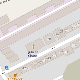

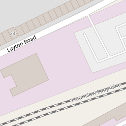
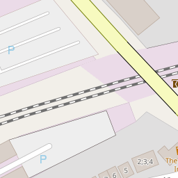
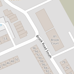


Leaflet © OpenStreetMap contributors
The heatmap indicates the level of crime in the area. The color of the heatmap indicates the crime severity and recency.
Metrics Year-on-Year
- Average area value
- 546,452.00 £Decreased by 14.10 %
- Est sale value
- 689,481.00 £Decreased by 2.59 %
- Average area rental value
- 2,332.00 £/moIncreased by 1.97 %
- Est letting value
- 2,158.00 £/moUnchanged by 0.00 %
- Est rental Yield
- 5.12 %Increased by 18.79 %
- Crime Rate
- 24.00 %Unchanged by 0.00 %
from 636,145.00 £
from 707,824.00 £
from 2,287.00 £/mo
from 2,158.00 £/mo
from 4.31 %
from 24.00 %
Nearby Schools
| Name | Type | Ofsted | Distance |
|---|---|---|---|
| St Paul'S Cofe Primary School | Voluntary Aided School | Good | 0.47 KM |
| Brentford School For Girls | Academy Converter | Good | 0.49 KM |
| Brentford Children'S Centre | Children's Centre | 0.74 KM | |
| Green Dragon Primary School | Community School | Good | 0.77 KM |
| Lionel Primary School | Community School | Outstanding | 1.02 KM |
Images
Nearby Streets
| Name | Average Price | Average Sqft | Distance |
|---|---|---|---|
| Lateward Road | £ 0 | 0 | 0.00 KM |
| M4 | £ 0 | 0 | 0.00 KM |
| B455 | £ 129,200 | 0 | 0.00 KM |
| Albany Road | £ 0 | 0 | 0.00 KM |
| The Mall | £ 525,000 | 0 | 0.00 KM |
Nearby Transport
| Name | NLC | TLC | Distance |
|---|---|---|---|
| Brentford | 5552 | BFD | 0.69 KM |
| Kew Bridge | 5593 | KWB | 1.82 KM |
| Kew Gardens | 5594 | KWG | 2.42 KM |
| Syon Lane | 5609 | SYL | 2.48 KM |
| Richmond | 5570 | RMD | 2.87 KM |
Nearby Listings
| Address | Price | Type | Score | Distance |
|---|---|---|---|---|
| New Road, Brentford, TW8 | £ 650,000 | BUY | 7 / 10 | 0.01 KM |
| New Road, Brentford | £ 399,950 | BUY | 5 / 10 | 0.01 KM |
| Hamilton Road, Brentford | £ 675,000 | BUY | 6 / 10 | 0.07 KM |
| Brook Road South, Brentford, TW8 | £ 270,000 | BUY | Unknown | 0.12 KM |
| Layton Road, Brentford, TW8 | £ 400,000 | BUY | 6 / 10 | 0.14 KM |
Nearby Properties
| Address | Price | Distance |
|---|---|---|
| 22a New Road | £ 319,000 | 0.00 KM |
| 23 New Road | £ 210,000 | 0.00 KM |
| 16 New Road | £ 555,000 | 0.00 KM |
| 22 New Road | £ 450,000 | 0.00 KM |
| 19 New Road | £ 318,500 | 0.00 KM |